
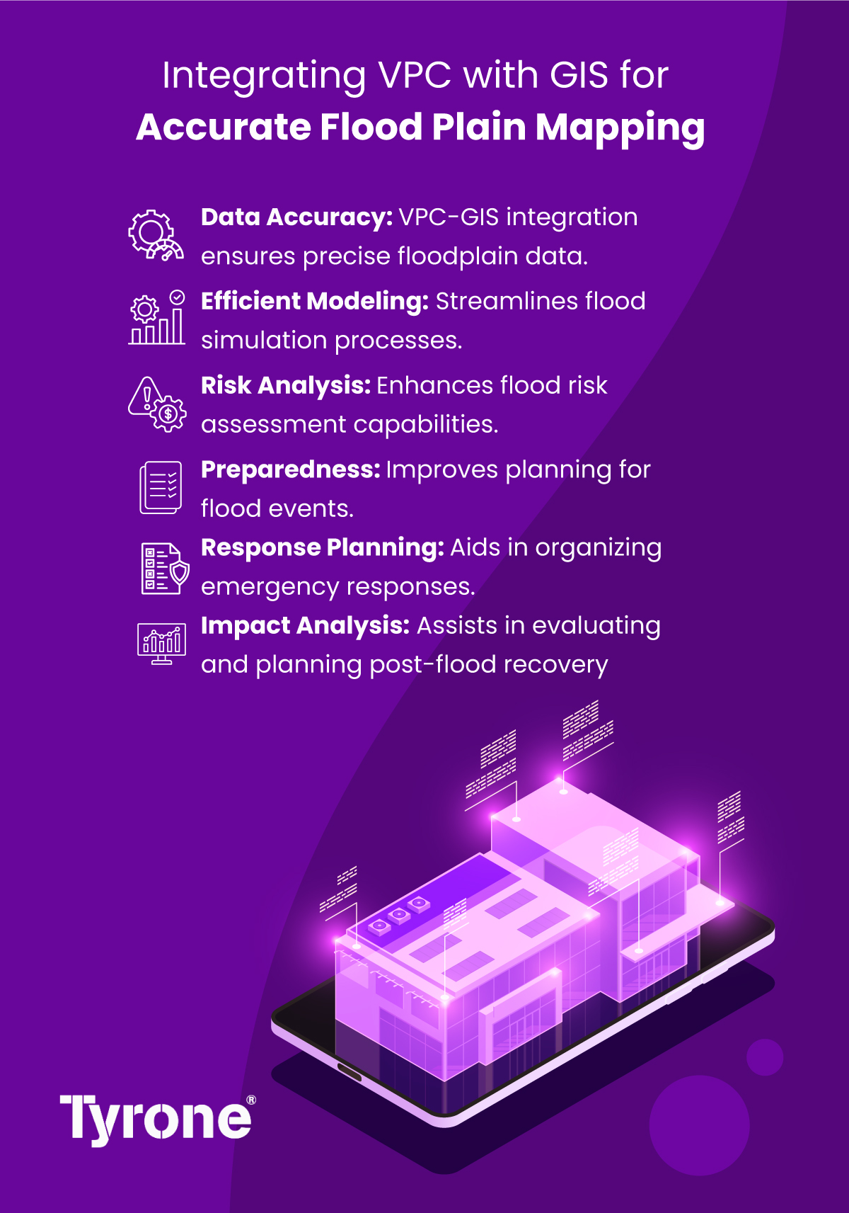
In the realm of flood plain mapping, accuracy and precision are paramount for effective risk assessment and disaster management. The integration of Virtual Private Cloud (VPC) technology with Geographic Information Systems (GIS) offers a powerful solution for achieving these goals. By combining the scalability and security of VPC with the spatial analysis capabilities of GIS, organizations can create a robust platform for generating accurate flood plain maps and assessing flood risk with confidence. This infographic explores how the integration of VPC with GIS is revolutionizing flood plain mapping, enabling organizations to leverage cloud-based computing resources and spatial analysis tools to generate high-resolution maps, model flood scenarios, and inform decision-making processes. By embracing this integration, organizations can enhance their ability to mitigate the impact of floods, protect vulnerable communities, and build more resilient infrastructure in the face of increasingly frequent and severe weather events.
Get in touch info@tyronesystems.com